KAGAKU SCIENTIFIC

REMOTE PILOTED AIRCRAFT SYSTEMS
Robotics :: Geospatial Survey :: Data Acquisition
CASA certified Remote Operator
ReOC 7212 :: ARN 1098717
Biosecurity QLD UAV Aerial Distribution
Licence Number ADC234706

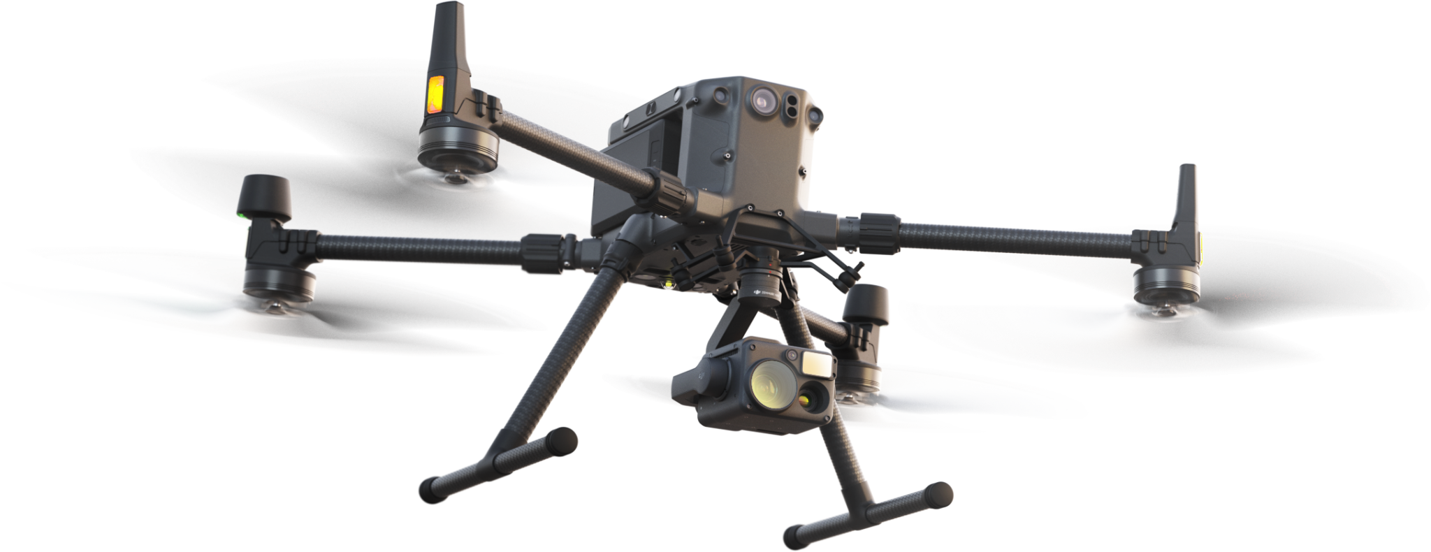
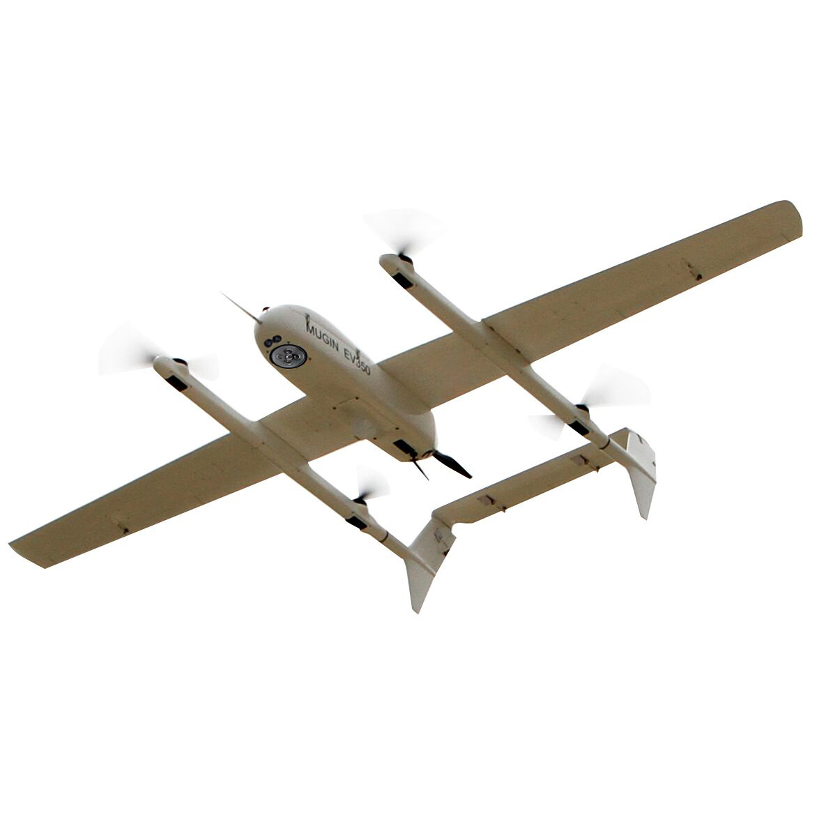
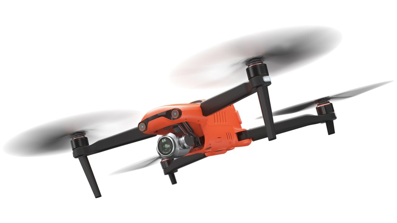
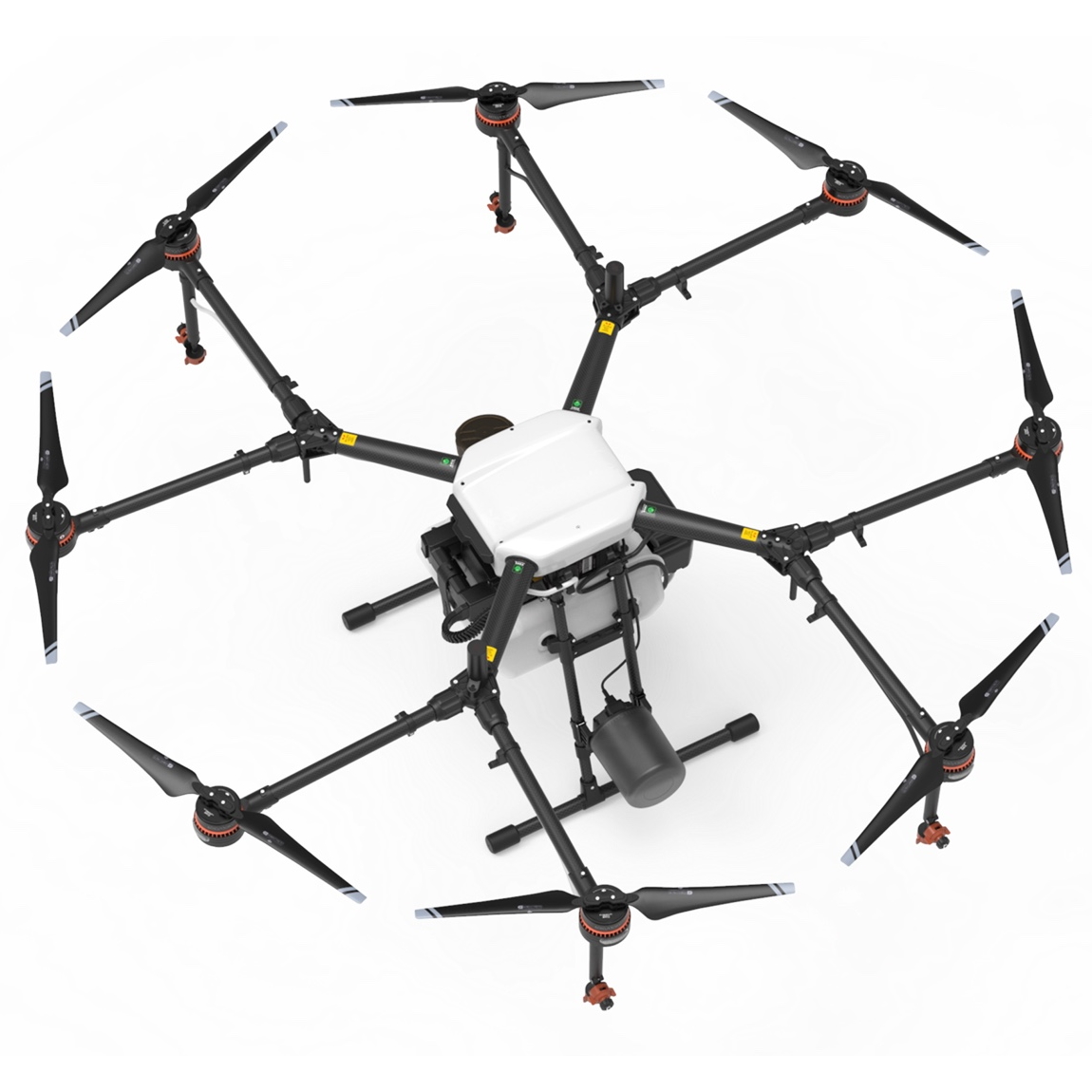
Kagaku Scientific Unmanned Aerial services offer a wide range of products and deliverables to suit your requirements.


PHOTOGRAPHY: Using visible light, photography captures reflected and transmitted light and records that as a latent silver halide image or electronically stores it as digitised data.
PHOTOGRAMMETRY: In aerial photography, photogrammetry uses offset images from at least two separate vantage points. This is nearly the same as your vision works, which is able to obtain depth and perspective to create striking 3D digital elevation models. New AI advances include dynamic logic algorythm technology called NMF (neural modelling fields) for better machine learning and more accurate output.
LiDAR: Is a relatively new technology compared to photography and means “Light Detection and Ranging”. Similar to RaDAR (Radio Detection and Ranging) except LiDAR generally uses invisible pulsed infrared light via light amplification stimulation emission radiation (LASER). LiDAR measures reflected light that bounces off the ground and back to the sensor to obtain the elevation of the Earth’s surface. The returning light is measured for intensity and speed to determine the type of surface and the distance. LiDAR is excellent for looking through foliage and 3D DTM (digital terrain models) can be created with all plant growth removed. Also very useful for scan to BIM and “As Built” capture. LiDAR can be both aerial and terrestrial, fitted to aircraft, vehicles, robots or even hand held.
BATHYMETRY: Sonar/radar has been typically been used to see the terrain layout under the water and for depth measurements. However LiDAR in the green spectrum uses a wavelength of 532nm to penetrate the water column to measure the seafloor. This can be used from satellites and aerial platforms, both manned and unmanned aircraft. This is ideal for determining the volume of water that is in a dam or watercourse or to identify submerged objects.
HYPERSPECTRAL IMAGING: Hyperspectral imaging, collects and processes information from across the electromagnetic spectrum. The goal of Hyperspectral Imaging is to obtain the spectrum for each pixel in the image of a scene, with the purpose of finding objects, identifying materials, or detection processes. Using analytical tools on our hyperspectral platform, we work with our clients to define the optimum setting of wavelength bands required to identify specific targets. This is an ideal tool for foliage identification and disease control in forests and broad acre farming. It is also effective for surface exploration to find trace surface minerals.
THERMAL IMAGING: Unlike a transmitted light source that can reflect and refract, Infrared thermography (IRT), thermal imaging relies on the emissivity or ability of a material to emit thermal radiation. Thermographic cameras are used to detect this radiation which is usually in the long-infrared range of the electromagnetic spectrum (roughly 9,000–14,000 nanometres or 9–14 µm) which produce images of that radiation that we call thermograms. Since infrared radiation is emitted by all objects with a temperature above absolute zero according to the black body radiation law, thermography makes it possible to see the environment with or without visible illumination. The amount of radiation emitted by an object increases with temperature; therefore, thermography allows one to see variations in temperature. When viewed through a thermal imaging camera, warm objects stand out well against cooler backgrounds. Humans and other warm-blooded animals become easily visible against the environment, day or night and as a result, thermography is particularly useful for military, police work, search and rescue and security. Other applications include detection of high resistance in the power grid causing elevated levels of heat and subsequent deterioration.

